



T is for Trails
Where Trails Intersect, People Come Together
The first trails in the backcountry of Carolina were made by deer, bison, and other animals. Native people made use of these trails long before European settlers followed in their footsteps. Throughout history, where trails or roads intersect, commerce begins and communities form.
Historic Trails
Preserved pieces of our region’s historic Trails are on ongoing mission of HEARTS. Below are historic trails that have been permanently preserved for the community to enjoy.
-
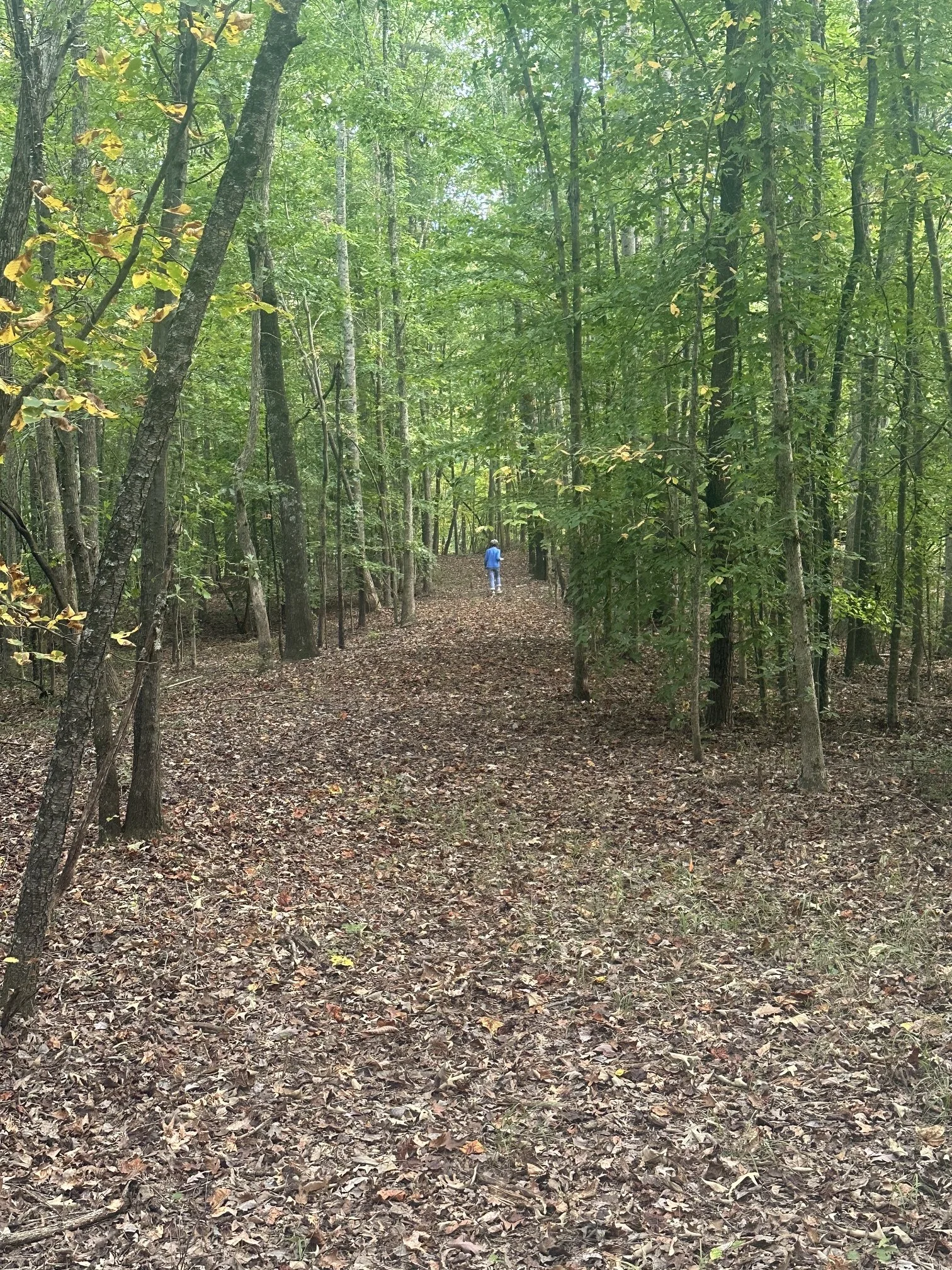
Sherrill's Path
Step back in time and explore Sherrill’s Path, a historic trail in Troutman, North Carolina, that traces the footsteps of bison, Native Americans, and early settlers along an important spur of the Great Wagon Road. Discover the story, significance, and natural beauty of this preserved pathway through local history.
Regional Trailways, Greenways, and Blueways
Trails, greenways, and blueways (water trails) create healthy spaces within communities that benefit humans and the natural world around us. Trails increase sunlight and create natural barriers and filters for streams, fostering biodiversity, and improving water quality. Time spent in nature has proven physical and mental health benefits as well as economic benefits where outdoor spaces provide enjoyable paths to explore nature, natural history, and access parks, cultural sites, and shopping. New trails and greenways are continually emerging within our towns and communities and, as such, part of the HEARTS mission is to share and connect these trails and their history throughout the Piedmont region. The T in HEARTS also connects with the E in HEARTS, so please visit our Ecology page for more nature resources!
Below is HEARTS’ collection of trailways, greenways, and blueways in the Piedmont region for your enjoyment the next time you’re looking for an outdoor activity to boost your physical and mental wellbeing.
-

Carolina Thread Trail
A regional network of trails, blueways and conservation corridors that will ultimately link more than 2.3 million citizens in the Carolinas.
-

Interactive Carolina Thread Trail Map
Discover new trails to explore, log your trail walks, and more.
-

Charlotte Trail of History
The Trail of History recaptures and preserves the significance of key people who contributed to the history, growth, and development of Mecklenburg County by erecting larger than life representative statues along the urban section of the Little Sugar Creek Greenway.
-

Cornelius Greenways and Trails
-

Davidson Greenways and Trails
-

The Huntersville Vine
The official adoption of “The Vine” as the name of the Town of Huntersville, NC’s public greenway network in 2020 solidified a decade-long vision for connecting existing but unlinked sections of the towns’ greenways.
-

Mecklenburg County Greenway and Trail Explorer
-

Statesville Greenways and Parks
Looking for a trail or greenway?
Search our entire site by typing a keyword below: