
Sherrill's Path

The Sherrill party's settlement along the Catawba River, further west than most families who arrived via the Trader’s Path or the GWR during the 1740s, raises questions about their specific route. Adam's father, William, who was a known fur trader before his death around 1747, may have shared crucial knowledge about the trade routes and lands in the Carolinas. The timing of William's death or disappearance from records seems closely related to Adam's arrival in North Carolina.
The GWR Project suggests that a possible route for Adam Sherrill led south from Augusta County, Virginia, traveling through present-day Carroll County, Virginia, and passing Mt. Ararat in Surry County, North Carolina. This road, confirmed by Christopher Gist’s 1750 journal, ended at Mulberry Fields (present-day Wilkes County), approximately 60 miles from Sherrill’s Ford on the Catawba River. Salisbury is only 40 miles away, offering a point of comparison.
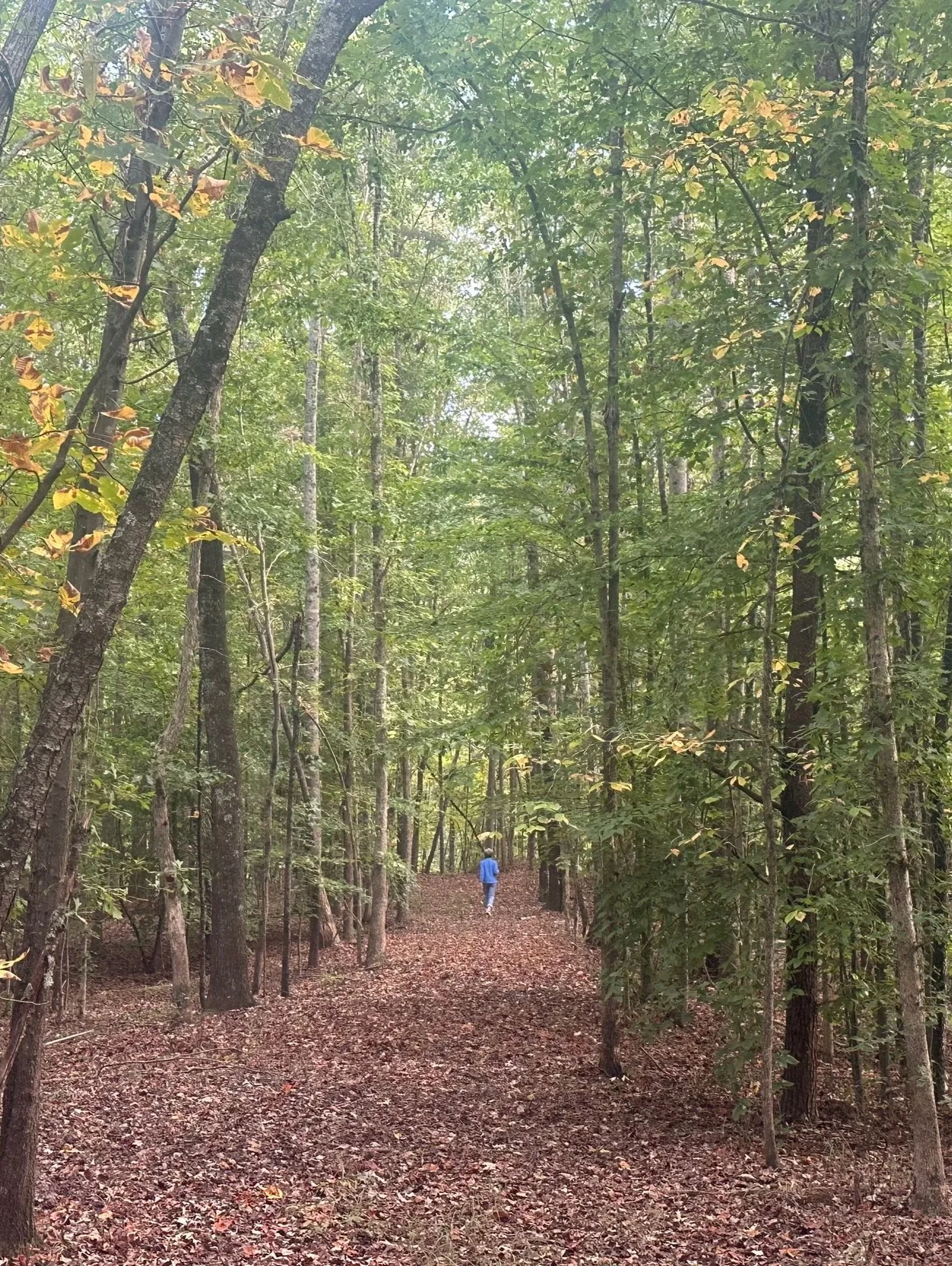
Sherrill’s Path itself began south of the Bryan Settlement, where the Mulberry Fields Road traveled east to west. The path proceeded south and west near present-day Statesville, Iredell County, to the Catawba River at Sherrill’s Ford (now submerged under Lake Norman). In 1747, Adam Sherrill was located in what was then Bladen County, North Carolina. Sherrill’s Path intersected with the Trader’s Path and ran near historic sites like Fort Dobbs. See below for maps.
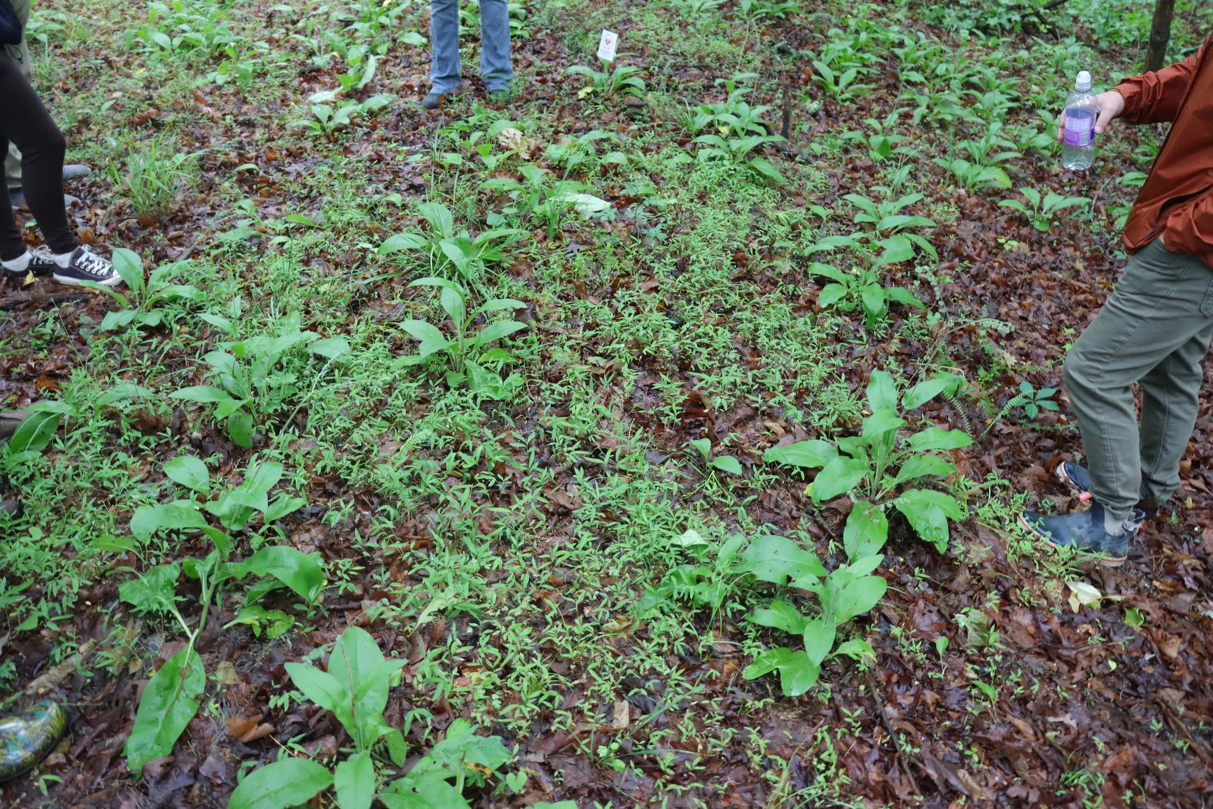
A portion of Sherrill’s Path has been permanently preserved by an easement held by the Town of Troutman, located in the subdivision of Colonial Crossing. This successful preservation was made possible by the efforts of Jane Getsinger and the research of Dr. Gary Freeze. Without their leadership, this path would have been lost to development.
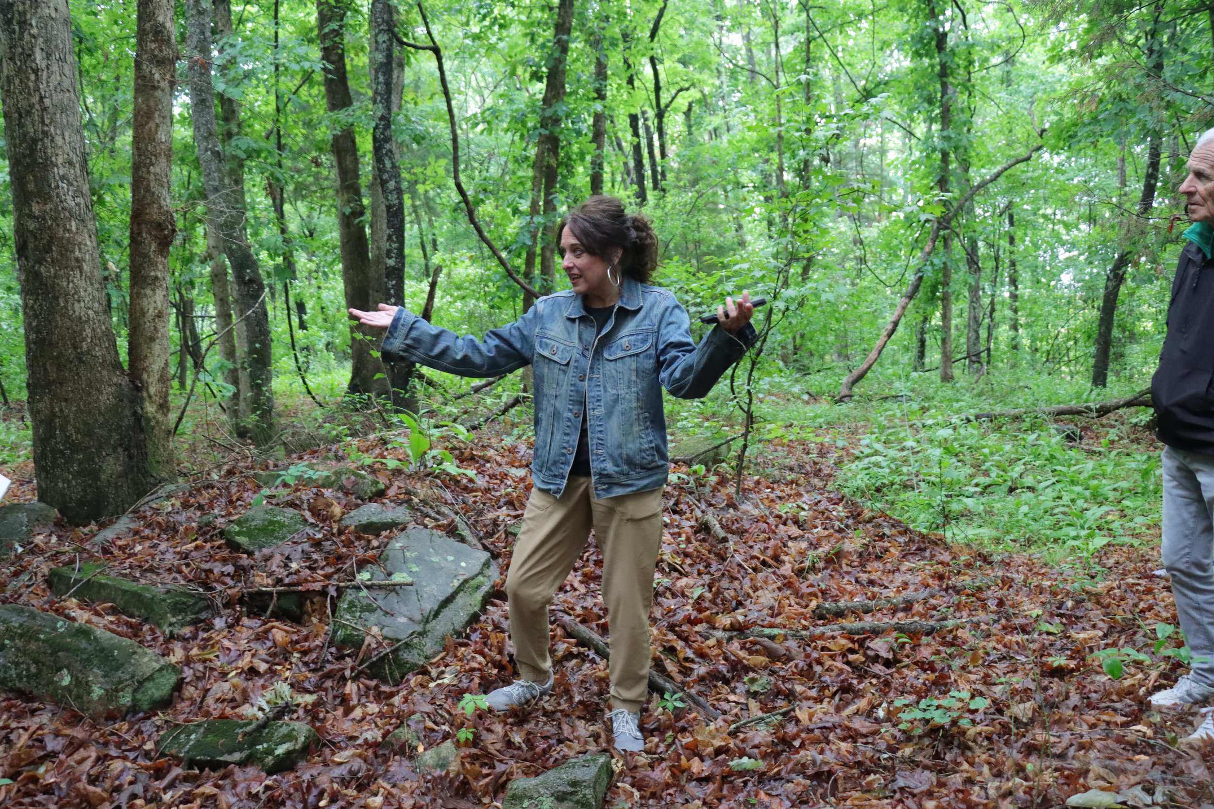
Research on Sherrill's Path is ongoing through HEARTS Collaborative. Our first community presentation was on May 23, 2026, and we look forward to sharing new research each year with our HEARTS community.
The history of the Catawba River Valley is tied to the trails and paths of the pioneers. Since the early 18th century, these trails facilitated the trade of furs between England and Native American tribes west of the Catawba. Sherrill’s Path is an offshoot of the GWR (Great Wagon Road). Sherrill’s Path, like many of the early trails, was created by bison and deer and adopted by the Native Americans. It’s hard to imagine that the American Bison (also called buffalo or Yansi by the Cherokee) once roamed the Piedmont up to the late 1700’s.
This path was “discovered” by Adam Sherrill, one of the first colonists to utilize the trail and eventually cross the Catawba River. Knowledge of the vast wilderness and resources spread through these trade routes.
Born in Cecil County, Maryland, in 1697, Adam Sherrill was the son of a fur trader, William Sherrill. Adam married Elizabeth Corzine in Pennsylvania in 1722. After relocating to Augusta County, Virginia, the family later traveled to North Carolina when Adam was 50.
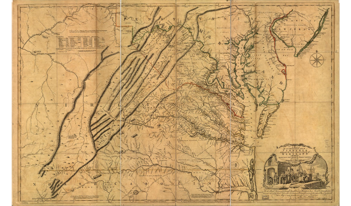
A map of the most inhabited part of Virginia containing the whole province of Maryland with part of Pennsylvania, New Jersey and North Carolina by Fry & Jefferson 1755 courtesy of the Library of Congress)

From The Way We Lived in North Carolina © 2003 The University of North Carolina Press Map © North Carolina Department of Cultural Resources All rights reserved. Map by: MARK ANDERSON MOORE
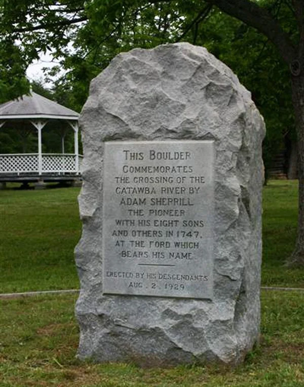
Monument boulder in honor of Adam Sherrill in Sherrills Ford.